GARFIELD BRIDGE
42°34.677'N 82°57.092'W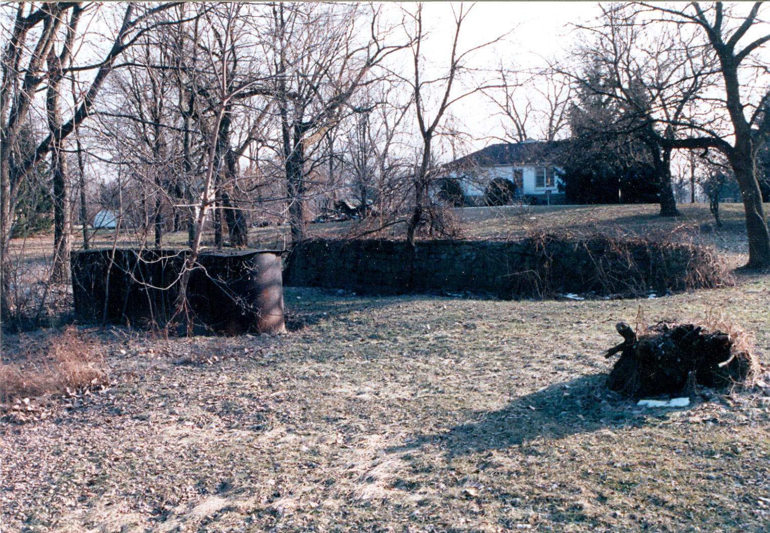
This is a picture of the old foundation for the Garfield Bridge on the South side of the Clinton River. This bridge was replaced by a new bridge a hundred feet or so to the west. Click on the coordinates to see the location on the map.