CLINTON AND KALAMAZOO CANAL
42°35.750'N 82°54.598'W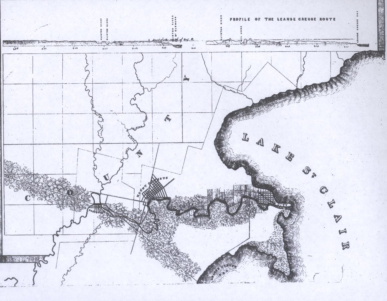
The Clinton and Kalamazoo Canal was constructed, starting in 1838, between the Village of Frederick and Rochester MI. The intention was that it would extend all the way to Singapore, a small town on the shore of Lake Michigan on the western part of the state. There were some plans to extend it east of Frederick. This map shows a possible route to Lake Saint Clair. What is interesting is that this route is very similar to the modern cut-off canal that was built in 1954 to provide an overflow for the flood waters of the Clinton River. The canal can be seen in Canal Park in Clinton Township. Click on the coordinates to see a satellite view. Then click on Metro for a closeup.