TOUR CLINTON TOWNSHIP KERNER FARM
42°35.422'N 82°55.479'W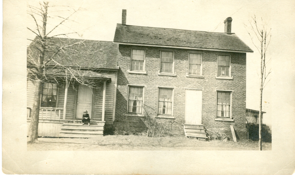
Lois Harder McFarland provided this and other pictures of the original homestead of Frederich Kerner (1823-1906) on Clinton River Rd across from Kerner Rd. You can click on the coordinates to see where it is on the map. Click on the photo to make it larger. If you want to see other pictures of the farm, type Kerner in the search space. To see other pictures around Clinton Twp type Tour in the search. If you have pictures that you would like to share with the world, please contact the web master