February 13, 2007
42°35.286'N 82°55.689'W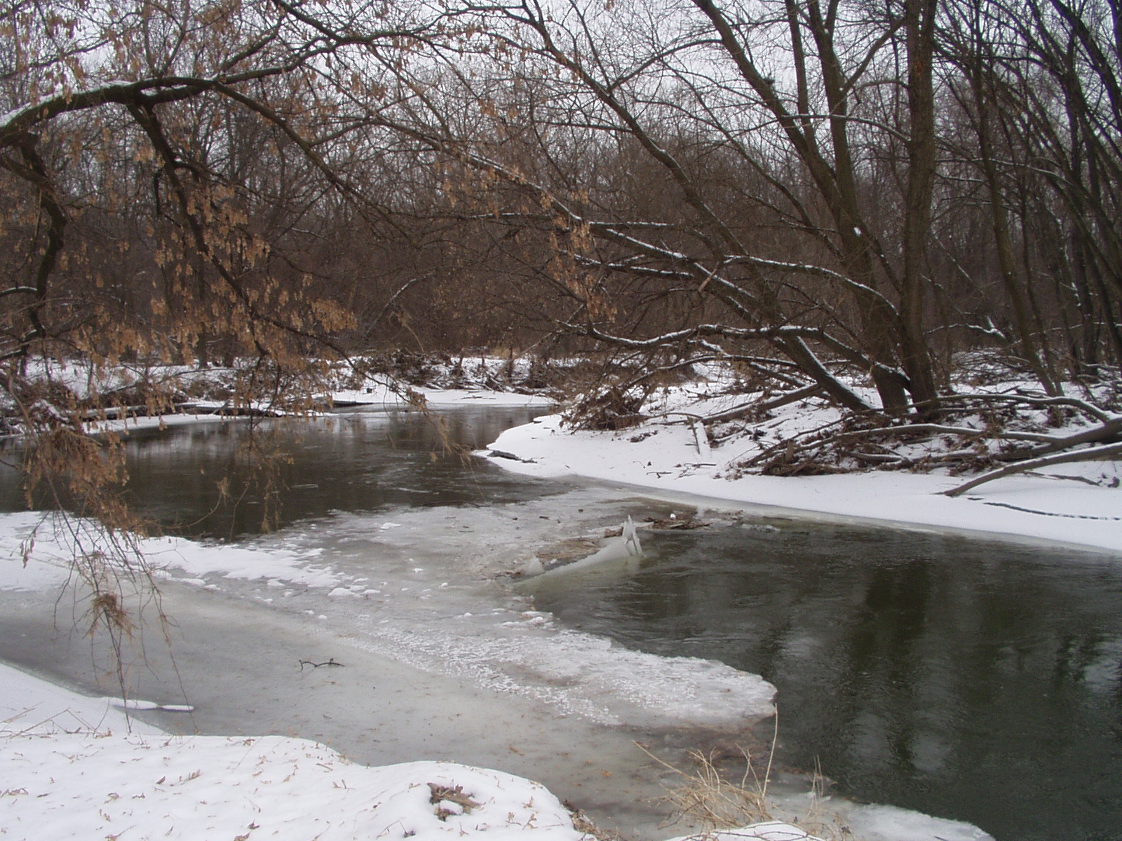
This picture was taken from Budd Park looking down-stream along the Don Green Nature Trail. If you click on the coordinates (the numbers for location) you can see where it is on the map. On the map you can change from the aerial view to the topographical map. Click the METRO button to have an extreme closeup with color. This mapping program can cover the entire USA. Try finding your house with it. Type Feb 13 in the search to see more in this series.